

OUR PLACE
Unique whenua,
unique community.
Encompassing almost 88,000 hectares of land, the Pōrangahau catchment spans from Te Awapūtahi in the south, to Flemington in the north; and from the Raikatea ranges in the west, all the way to the eastern coastline where the catchment reaches the Pacific Ocean at Te Paerahi.
Taurekaitai flows through the heart of our catchment. Almost every drop of rain that falls here travels across the land, into this river and out to sea. Taurekaitai connects our community and whenua together.
We have iwi, hapū, intergenerational families, new families, farms, businesses, schools and churches. We have a village, an urupā, a marae, a pub, a country club, sports clubs, shops, beaches, holiday homes and many groups and organisations that together create a special and unique dynamic.
Our diverse community is woven together through te taiao and united in creating a better future.


Explore our catchment
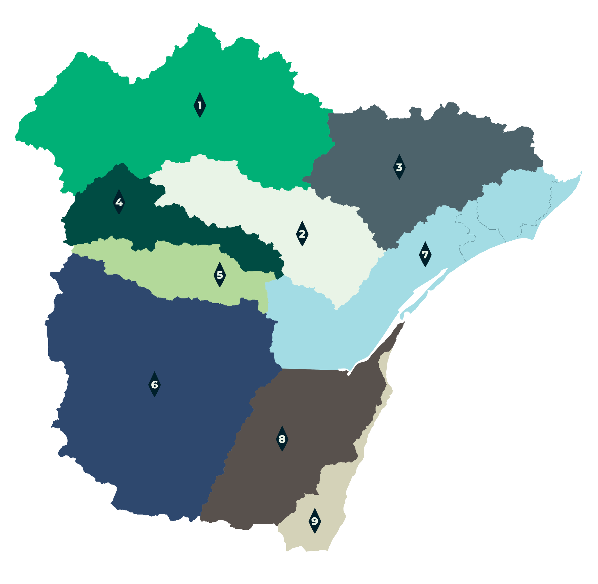
Click on the map for a larger image or select a sub-catchment for more information.
-
Area: 17,397 ha
Waterways: 423 km
-
Area: 8,203 ha
Waterways: 212 km
-
Area: 10,567 ha
Waterways: 238 km
-
Area: 5,232 ha
Waterways: 143 km
-
Area: 4,227 ha
Waterways: 110 km
-
Area: 21,997 ha
Waterways: 502 km
-
Area: 8,116 ha (includes Taikura, Waikaraka, Blackhead Coast)
Waterbodies: 178 km
-
Area: 9,612 ha
Waterways: 160 km
-
Area: 2,470 ha
Waterways: 31.7 km